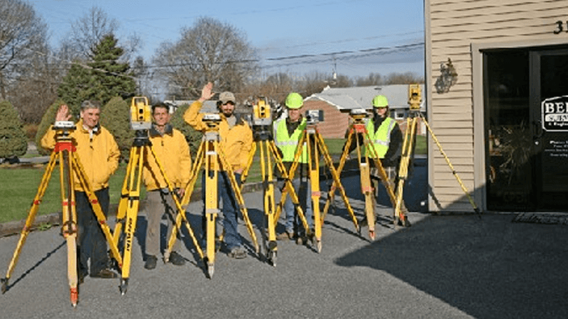
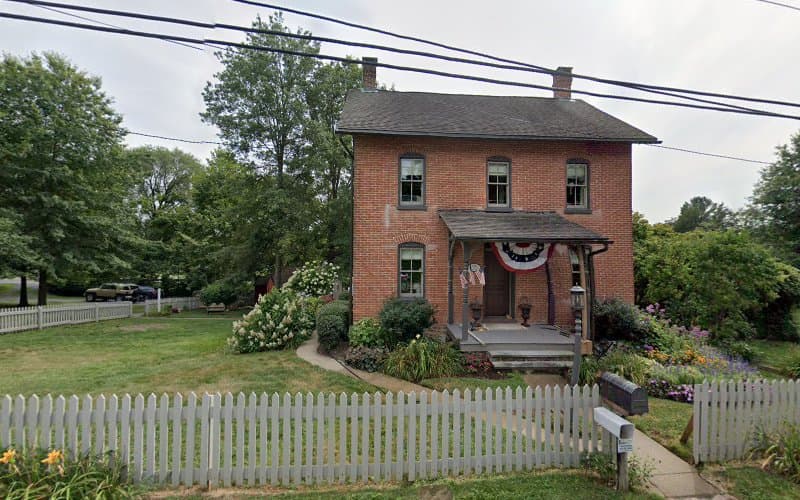
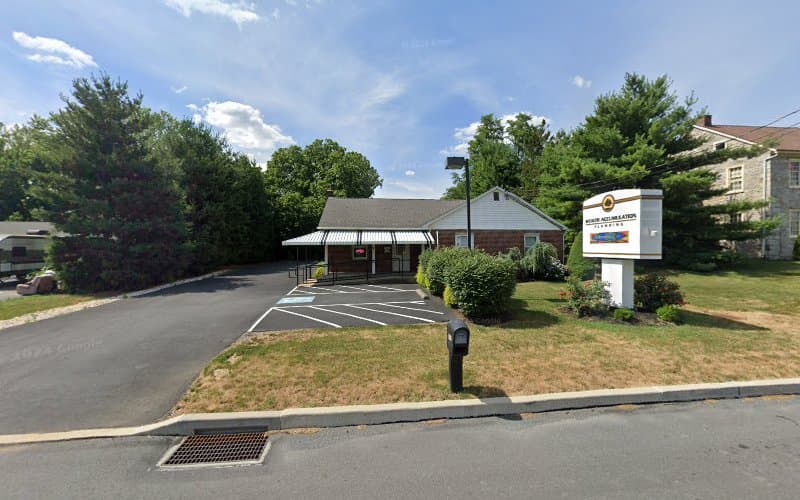
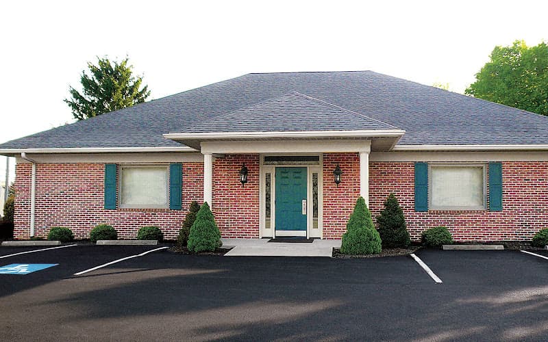
Berks Surveying & Engineering, Inc. is a land surveying and civil engineering firm located at 311 E Main Street in Fleetwood, Pennsylvania, a borough in northeastern Berks County. The company works on the technical documentation and approval side of property and land development projects, producing the boundary surveys, site plans, subdivision drawings and permit packages that municipalities and title companies require before construction, sale or land division can move forward. Its work spans small residential questions, such as locating a property line before a fence goes in, through to multi lot subdivisions and commercial site design.
The firm serves property owners, builders, contractors, real estate professionals, attorneys and municipalities throughout Berks County and the surrounding region, including the Reading area and adjacent townships. The Fleetwood office can be reached at +1 610-944-8528, and additional information is available at www.berks-surveying.com.
Land Surveying Services
Surveying forms the foundation of the practice. A licensed surveyor establishes and documents where legal boundaries actually sit, which often differs from what fences, hedgerows or old assumptions suggest. Typical surveying work handled by firms of this type, and reflected in the projects clients describe, includes:
- Boundary and property line surveys used for sales, refinancing, disputes and improvement planning
- Mortgage and title surveys prepared to satisfy lender and settlement requirements
- Topographic surveys that map existing grades, contours and features as a basis for design
- ALTA/ACSM style surveys for commercial and investment transactions
- Construction staking and layout so that foundations, utilities and roads are built in the correct position
- As built surveys documenting what was actually constructed
- Subdivision and land development plans that create new lots from a parent tract
- Lot line adjustments, consolidations and easement descriptions
- Elevation certificates and flood zone determinations related to insurance and permitting
Because the firm has been active in Berks County for many years, it has accumulated field notes, plans and records from earlier work in the same neighborhoods and townships. That archive matters in practice. Older deeds in Pennsylvania frequently reference monuments, stones, trees or adjoining owners rather than coordinates, and a firm that has previously surveyed a parcel or its neighbors can often reconstruct the intent of a century old description more efficiently than one starting from scratch.
Civil and Site Engineering
On the engineering side, the company prepares the plans and calculations that accompany development applications. This commonly includes site layout and grading design, stormwater management design and post construction stormwater plans, erosion and sedimentation control plans, driveway and access details, sanitary sewer and water service layouts, and on lot septic and well considerations for rural parcels. For agricultural and environmentally sensitive properties, work may extend to wetland and floodplain considerations, riparian buffers and coordination with environmental specialists when a study or clearance is needed.
Pennsylvania development approvals typically involve several layers of review at once: the township or borough, the county conservation district, the county planning commission, the Department of Environmental Protection and sometimes PennDOT for highway occupancy. Part of the firm's function is assembling a consistent set of plans that satisfies each reviewer and then revising those plans as comments come back. Clients describe that iterative process, with plot plans and revisions carried through to final approval, as a substantial share of the value they receive.
Zoning, Permitting and Municipal Representation
A distinguishing feature of the practice is its involvement in the approval process itself rather than only in drafting. Staff prepare and file permit applications, appear at township supervisor meetings, planning commission hearings and zoning hearing board sessions, and present or explain project drawings to boards, solicitors and municipal engineers. In recent years this has included remote and video conference hearings as municipalities adopted hybrid meeting formats.
For a homeowner seeking a variance for a setback encroachment, an accessory dwelling, a home occupation or an addition on a nonconforming lot, this representation removes the need to interpret an unfamiliar zoning ordinance alone. For builders and developers, it provides continuity, since the same firm that drew the plan explains and defends it on the record. The company's familiarity with individual municipalities in Berks County, each of which maintains its own zoning ordinance, subdivision and land development ordinance, fee schedule and submission calendar, helps projects meet deadlines and avoid resubmission cycles.
Who Uses the Firm
The client base is mixed. Homeowners come with focused questions: where is the line, can a garage go here, is this parcel in a floodplain, what does the township need before a permit is issued. Real estate agents and settlement companies order surveys on transaction timelines. Builders, excavators and site contractors rely on staking and grading plans to execute work correctly. Landowners dividing family acreage, farm tracts or larger holdings engage the firm for subdivision plans and the accompanying approval process. Architects and other design professionals often bring the firm in as the survey and civil consultant on shared projects.
Location, Access and Practical Information
The office sits on East Main Street in Fleetwood, a short distance from Route 222 and convenient to Reading, Kutztown, Blandon, Topton, Oley, Boyertown, Hamburg and the townships across northern and central Berks County. The entrance and the parking lot are both wheelchair accessible.
Prospective clients are generally asked to provide a deed, parcel identification number, address and any prior survey or plan they already hold, since existing documentation shortens research time and informs the scope of work. Project timelines vary widely: a straightforward boundary survey depends largely on research, field crew scheduling and weather, while a subdivision or land development application follows the municipality's review cycle and can extend over months as required meetings and comment periods run their course. Discussing the intended use of a survey at the outset, whether for a permit, a closing, a lender or a dispute, helps determine the correct type of product, because the standards for each differ.
Character of the Practice
The firm operates as a small professional office in which the same people tend to handle a project from initial call through final approval. Administrative staff coordinate scheduling, municipal filings and document delivery, while licensed surveyors and engineers manage fieldwork, design and hearings. That structure suits the nature of land work in Berks County, where much of the value lies in accumulated local knowledge: which townships require what, how older deeds in a given area were written, and which agencies need to be consulted when a project touches a stream, a wetland or a state road.